Cool, rainy weather helps firefighters slow wildfires that’ve burned more than a quarter million acres
Cooler and rainy weather over the past couple of days has slowed the growth of wildfires that’ve burned more than a quarter of a million acres over the past couple of weeks, mainly around the eastern Interior.
“The cool weather and the rain -- it’s really benefited us,” says Sam Harrell, a spokesperson for the state Division of Forestry and Fire Protection. “But we’re not out of the weather yet. We’re still going to have high pressure lingering over the Interior. And with that’s going to come the warm sunny days. We’re still forecasting above-normal temperatures.”
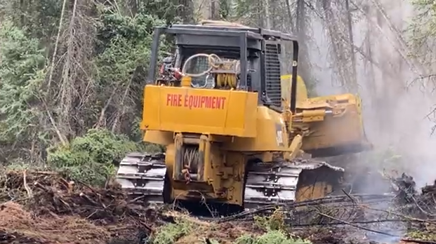
But Harrell says firefighters have made solid progress during the cool rainy respite to cut more containment line around fires and douse them with dozens of loads from water-scooping aircraft. That’s helped keep the 42,000-acre Pogo Mine Road Fire from encroaching toward the Trans-Alaska Pipeline that’s burning about 20 miles north of Delta Junction.
“It’s very close to the pipeline there, south of Shaw Creek,” he said Wednesday.
Harrell says the fire that's named for the road that leads to the Pogo gold mine has burned to within a tenth of a mile of the pipeline right-of-way, and about a mile from the Richardson Highway near milepost 285. He says there’s not a lot of vegetation in the right-of-way to fuel a fire, and that the pipeline is engineered to withstand a wildfire.

“Of course,” he added, “we would really rather it not, because we also don’t want it to reach the Richardson Highway and then of course the homes and everything that are along the highway corridor.”
“It’s not really growing and expanding in that area,” he said. “The only heat that we see is down in the Shaw Creek Flats, where it’s kind of working through the grasses in that boggy tundra down there in the lowlands.”
Harrell says today, state and federal fire officials will stand up an Incident Command Post at the Deltana Fairgrounds in Delta Junction, where equipment and personnel will muster to coordinate firefighting around that area.
Harrell says two crews that were aboard a planeload of firefighters that flew in Tuesday from the Lower 48 were sent to the 9,000-acre Lost Horse Creek Fire, burning near the Elliott Highway. One of the other crews on the plane was sent to the 14,000-acre McCoy Creek Fire southeast of Fairbanks, where an evacuation order remains in effect along the lower Salcha River.
“Firefighters are really in there, mopping up to ensure there’s no hotspots along the river corridor or in and among the cabins in there that the fire moved around the through this past weekend,” Harrell said.
Another crew was dispatched to 51,000-acre Anderson Complex -- eight fires that are burning in an area southwest of Fairbanks, between Healy and Nenana.
“Multiple fires over there,” he said. “There’s evacuations in place by the Denali Borough and also along the unincorporated area of the Teklanika River.”
The Forestry Division talked with area residents about the fire situation during a community meeting in Anderson last night.
Meanwhile, the federal BLM Alaska Fire Service has been fighting a cluster of smaller lightning-caused wildfires near the Alaska-Canada border northeast of Chicken. Spokesperson Al Nash says they’re not very large, ranging in size from a few acres to the 1,200-acre Wood Fire.
“There are some cabins. There are some residences. They’re widely scattered. But, our goal is to protect those structures,” Nash said.
The National Weather Service is forecasting more rainy and cool weather into the weekend. But Harrell reminds that longer-term forecasts call for a return to the warmer-than-usual conditions that’ve set in over the past couple of weeks.”
“There’s still a lot of fire out there on the landscape,” he said. “And even though fire behavior has moderated, it’s still going to take a while to mop up these fires.”
Editor's note: This story was revised to correct and clarify information from a Forestry source about where two crews from the planeload of firefighters that arrived earlier this week were deployed: they were sent to the Lost Horse Creek Fire, not the Pogo Mine Road Fire.


